AR Boundary Mode Pro
AR mode lays your property boundary on the real ground using augmented reality. Point the camera at the ground and the app anchors your lines in place — walk around and they stay pinned to the terrain, drawn as a low fence you can see through with a survey stake flagged at each corner.
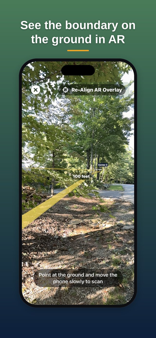
See it in action — a full turn on the deck: the boundary line and corner tags (Corner 3 · Corner 6 · 293 ft) stay pinned to the ground as the camera sweeps 360°.
Anchor your plat first
AR mode requires a GPS anchor at Corner 1. If you haven't set a reference yet, do that first — see Setting a GPS Anchor.
Open AR and scan the ground
From the plat detail view, tap the AR button in the toolbar. Point the camera at the ground and move the phone slowly from side to side — the on-screen prompt guides you. ARKit uses this to detect the ground plane and build a stable world frame. Once it has the ground and a GPS fix, your boundary drops into place on the terrain.
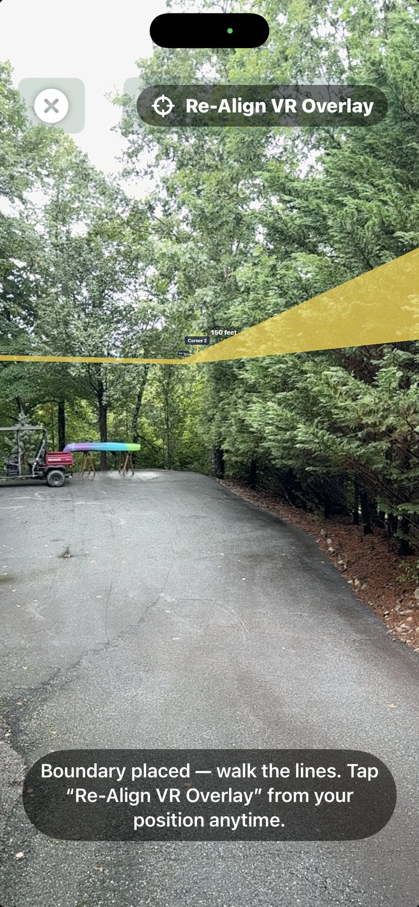
Walk the boundary
The boundary is now anchored to the ground and stays put as you move and turn. You'll see a low fence tracing each property line, a copper stake standing at every corner with the corner's name flagged at its tip, and the leg distance floating along each segment. Walk the fence line to follow the boundary; the stakes mark where the monuments should be.
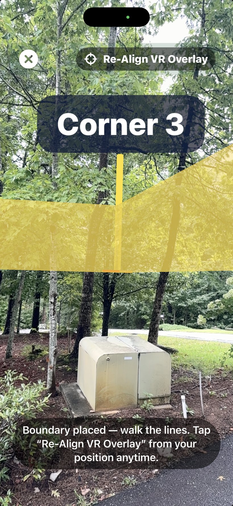
Re-align from where you're standing
Tap Re-Align AR Overlay to re-drop the whole boundary using your current position. The app captures your GPS and your spot in the AR world at that instant and rebuilds the fence and stakes from there.
Use it when: you first placed the boundary on a shaky fix and now have a steady one; you've walked to a different area of a large parcel; or the lines start to look off after a long session (AR tracking slowly drifts over distance). It does not move your corners or change the plat — it only realigns the AR view.
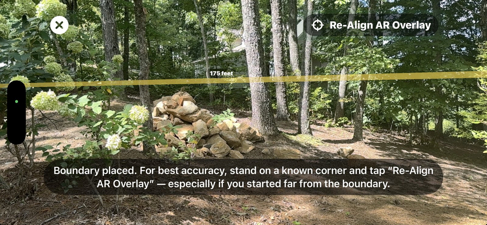
Accuracy in AR mode
ARKit tracks your movement very precisely, so the boundary stays rock-steady relative to where you anchored it. Its absolute position on the ground is only as good as your GPS fix at the moment you place or re-align — so do that on a steady, high-confidence fix, and re-align as you move across a large parcel. An external Bluetooth GPS receiver helps in open sky; under wet or dense canopy the iPhone's own sensor fusion often holds up better. Unlike the old overlay, compass interference no longer affects the scene.
AR requires a device that supports world tracking (all recent iPhones and iPads). On unsupported hardware the app falls back to a simpler camera overlay.