Deed Text
Paste, type, or scan a metes-and-bounds legal description and the app will parse it into a boundary traverse. Have a printed deed? Tap Scan Deed Document to photograph it and let the app read it on-device — no typing. Supports degree/minute/second bearings, decimal degrees, chains, rods, feet, and spelled-out directions.
Tap + and choose Deed Text
From the main plat list, tap the + button. In the Add Plat sheet, select the Deed Text tab.
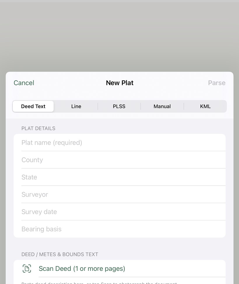
Paste, type, or scan your legal description
Copy the metes-and-bounds description from your deed and paste it into the text field. The description must use the word thence to separate boundary calls.
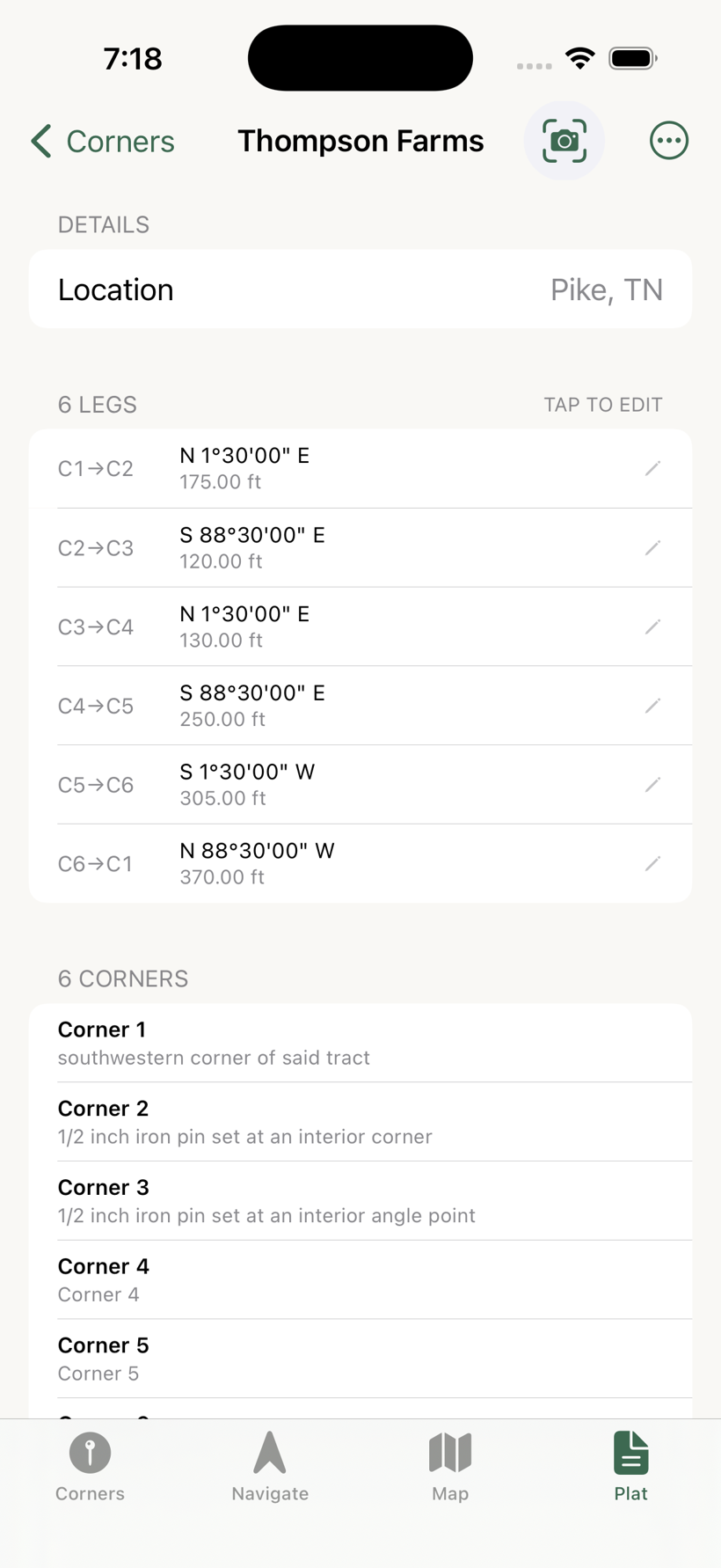
"…thence North 01°30'00" East, 175.00 feet to a 1/2 inch iron pin set at an interior corner; thence South 88°30'00" East, 120.00 feet to a 1/2 inch iron pin set at an interior angle point; thence North 01°30'00" East, 130.00 feet to a 1/2 inch iron pin set at the northwestern corner of the upper portion of said tract; thence South 88°30'00" East, 250.00 feet to a 1/2 inch iron pin set at the northeastern corner of said tract; thence South 01°30'00" West, 305.00 feet to a 1/2 inch iron pin set along the northern right-of-way line of Glade Valley Road at the southeastern corner of said tract; thence along said northern right-of-way line North 88°30'00" West, 370.00 feet to the Point of Beginning."
This 6-corner description closes perfectly (0.00 ft error) and is a good test of the parser's handling of interior angle points and combined lots.
Tap Parse
Tap the Parse Deed Text button. The app processes the description and shows a preview of the legs it found — bearing, distance, and unit for each boundary call.
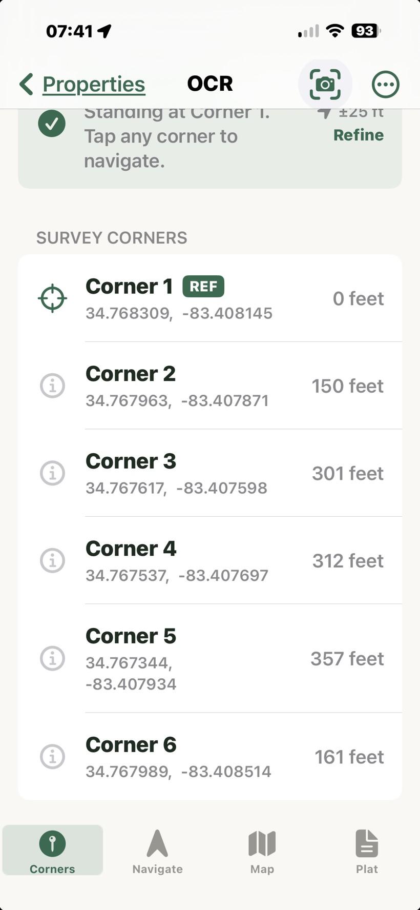
Name your plat and save
Enter a name and optionally assign a folder, then tap Save. The plat appears in your list and opens to the Map tab.
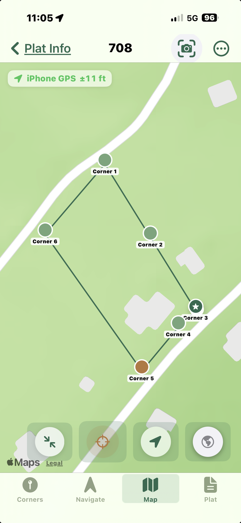
Set a GPS anchor at Corner 1
The boundary exists as a relative traverse until you anchor it. Walk to your Point of Beginning, open the Corners tab, tap Corner 1, and choose Set Reference. The full boundary will appear on the map immediately.
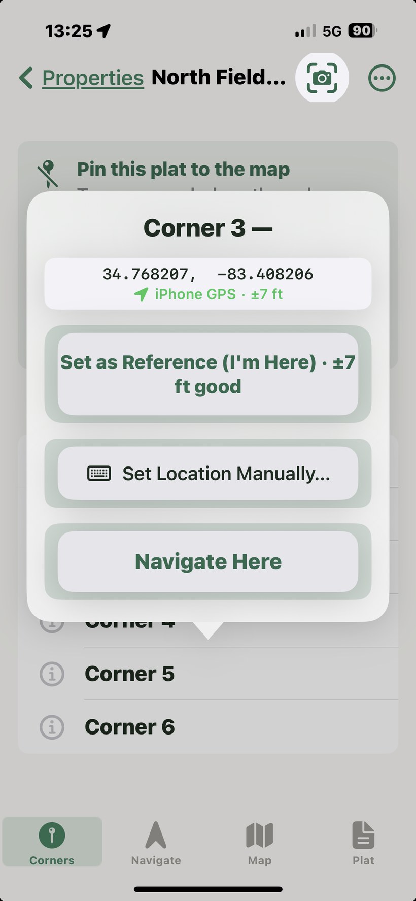
Sample deed text you can paste and try
These are real-style examples you can copy directly into the Deed Text field to test the parser or learn the format.
6-corner L-shaped tract (feet, DMS bearings)
6 legs · closes to 0.00 ft · tests interior angle points and combined lots.
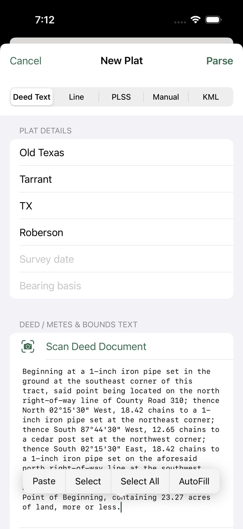
Texas — Hill Country, 4-corner ranch parcel (chains, DMS bearings)
4 legs in chains (1 chain = 66 ft). The parser converts chains to feet automatically. 23.27 acres.
Virginia — Shenandoah Valley, 5-corner tract (rods, spelled-out bearings)
5 legs including a creek-boundary leg along Stony Creek. Rods converted to feet (1 rod = 16.5 ft); closes cleanly. Tests the spelled-out bearing parser.
Jamaica — St. Elizabeth Parish, 4-corner lot (chains & links, British colonial style)
Jamaican deeds follow British colonial surveying conventions — chains, links, and perches. 1 chain = 100 links = 66 ft. The spelled-out bearing and "Five chains and Fifty links" format are fully supported.
Ontario, Canada — Township lot, 4-corner parcel (metres, decimal bearings)
Canadian survey descriptions often use metres and decimal degree bearings. The parser handles metric distances and decimal bearing formats. 2.226 hectares ≈ 5.5 acres.
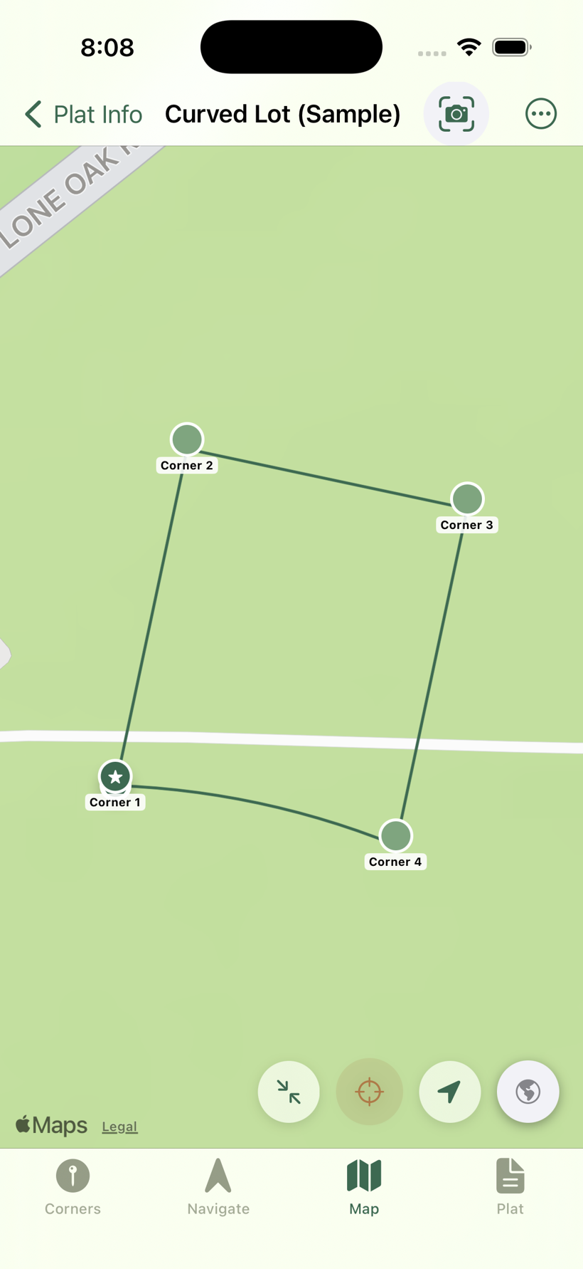
Curved road frontage — cul-de-sac lot (feet, DMS, with a curve call)
A curved boundary (common for cul-de-sac and road frontage). The app places the curve by its chord — the straight line between its two endpoints — so the corner lands correctly, and draws the arc along the frontage. Closes to 0.00 ft.
Supported formats
Bearings: N42°30'15"E, N42.504°E, North 42 degrees 30 minutes East, North forty-two degrees West. Distances: feet, metres, chains (ch), links, rods (rd), perches. Numbers may be written out in English ("forty-two point five").
Meander calls ("thence with the meanders of said creek…") are parsed as a single straight leg using the stated distance. For irregular water boundaries this is an approximation — the app will show a straight line between those two corners.
Curved boundaries (curve calls). Curves are common along cul-de-sacs and road frontage — for example "thence along a curve to the right having a radius of 432.00 feet, an arc length of 150.76 feet, and a chord bearing of North 78°00'00" West and a chord distance of 150.00 feet." The app reads the chord bearing and chord distance to place the curve's far corner exactly where it belongs, and draws the arc along the boundary. What matters for staking is the corner, and that lands correctly. A curve call needs both a chord bearing and a chord distance; if a curve is described only by radius and arc with no chord, the app flags that leg so you can verify it against the plat.