Export & Import KML Pro
Export any plat as a KML file for Google Earth, Avenza Maps, CalTopo, or QGIS — or go the other way and import a boundary from a KML file so the whole parcel drops onto the map with real coordinates, no deed or anchoring needed.
How to export
Tap the ⋯ menu in the top-right corner of the plat screen and choose Export KML. The app builds a KML file containing the boundary polygon and a pin for each corner, then opens the iOS share sheet. From there you can save to Files, AirDrop it to another device, email it, or open it directly in a compatible map app.
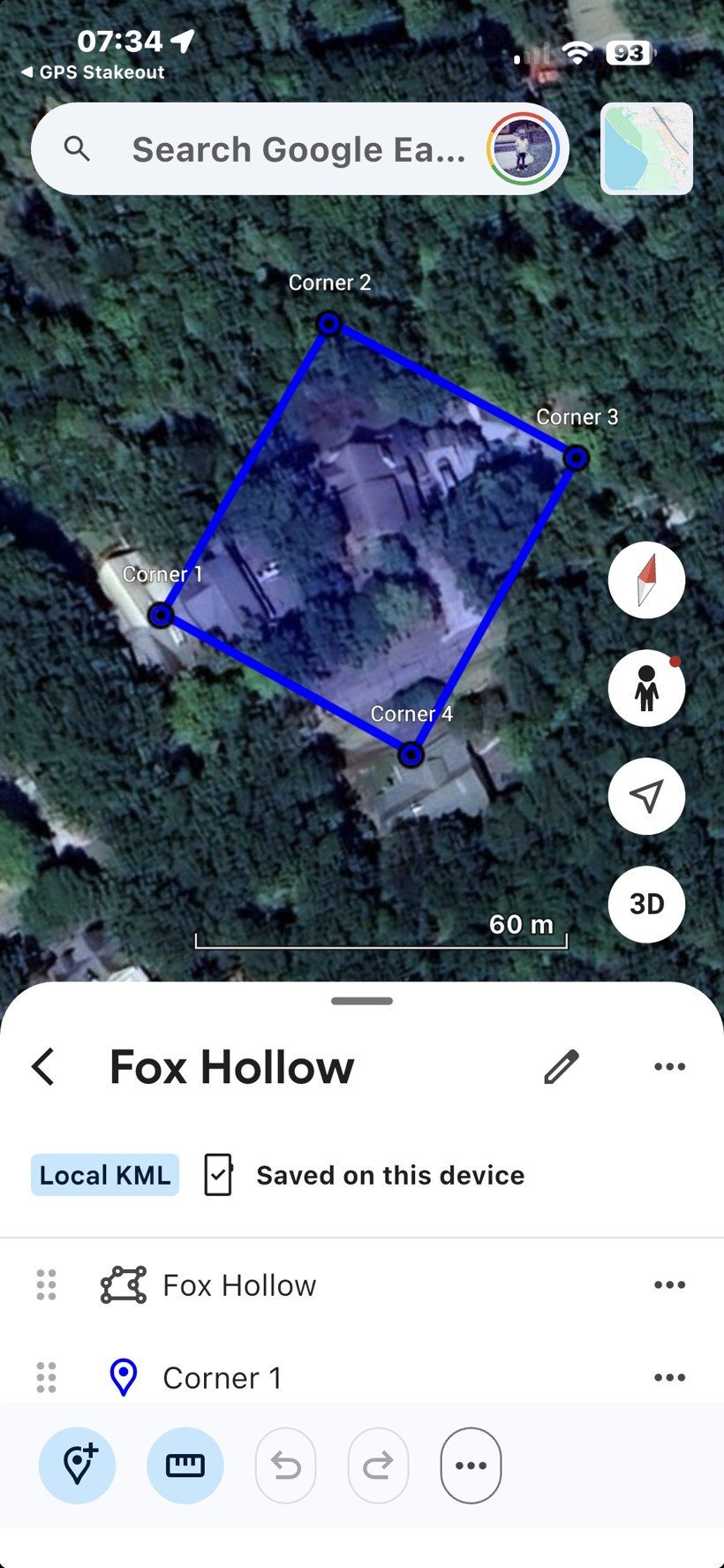
A GPS Stakeout KML export opened in Google Earth for iOS — boundary polygon with a labeled pin at each corner.
Import a boundary from KML
Already have your parcel as a KML file — from Google Earth, Google My Maps, a county GIS parcel viewer, or a surveyor? Import it and GPS Stakeout places the whole boundary on the map instantly, with real coordinates and no field anchoring required — the fastest way onto the ground when you already have a digital boundary.
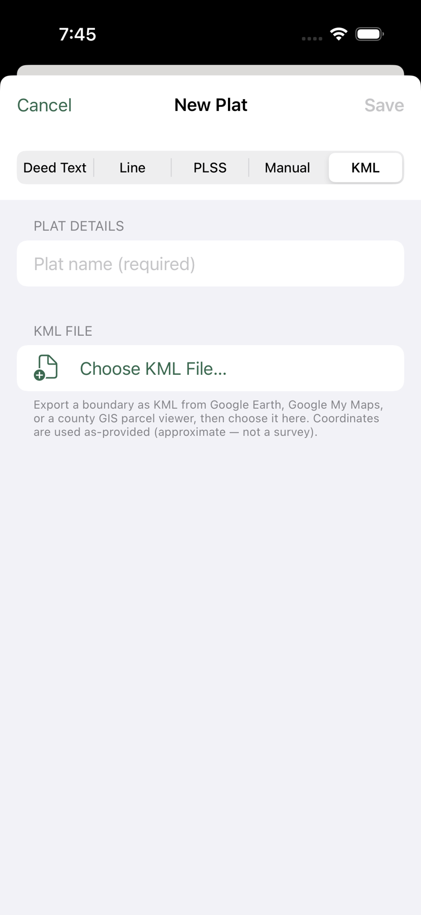
Tap + on the plat list, choose the KML tab, then Choose KML File… and pick your file. The app reads the boundary, names the plat, and shows how many corners it found. Tap Save and it's ready to navigate like any other plat.
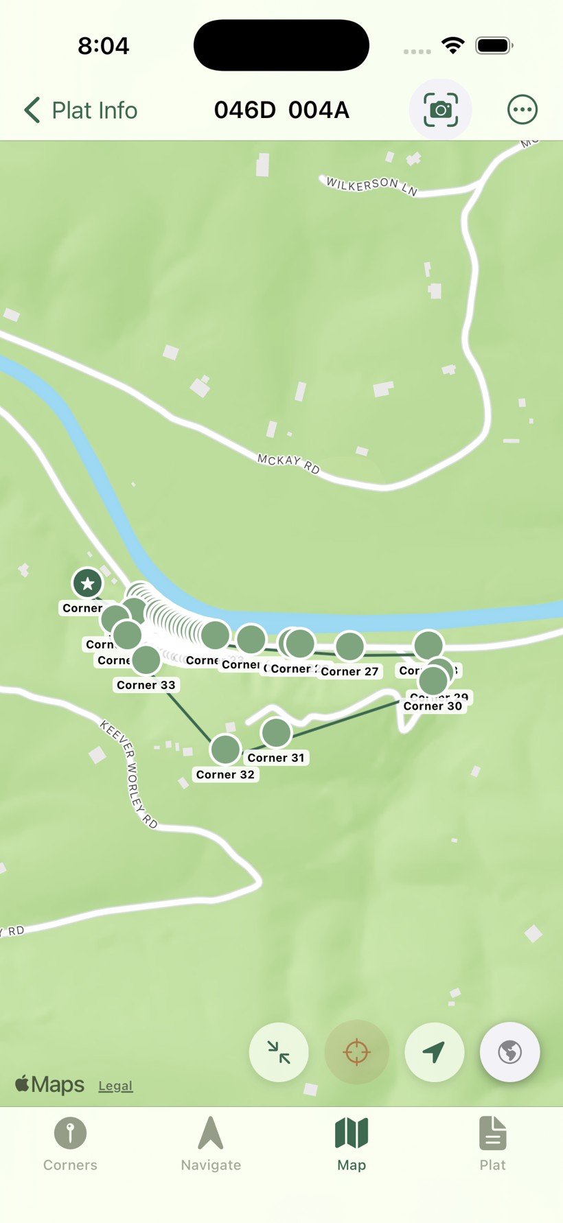
Coordinates a little off? An imported boundary lands exactly where its source placed it — usually spot-on, but a hand-traced GIS parcel can sit a few feet off. When you reach a real monument, open the plat, tap that corner, and choose "I'm at [corner] — anchor here" to shift the whole boundary onto your GPS position. To undo and snap back to the original file coordinates, use Reset to KML Position at the top of the Plat tab.
What's in the KML file
The exported file contains two layers:
Boundary polygon — the perimeter drawn in the order corners are connected by legs, closing automatically back to Corner 1. The polygon is styled in the app's amber color so it stands out on a satellite basemap.
Corner placemarks — a labeled pin for each named corner (Corner 1, Corner 2, etc.). Corners with no GPS coordinate are omitted from this layer but still appear in the polygon via their computed positions.
Compatible apps
KML is an open standard with broad support. Apps known to work well with GPS Stakeout KML exports:
- Google Earth (iOS and desktop) — best overall viewer; renders polygon and pins with labels
- Avenza Maps — excellent in the field; overlays the boundary on USGS topos or custom basemaps
- CalTopo — import via the web interface; good for printing field maps
- Gaia GPS — supports KML import; useful for users already on that platform
- QGIS / ArcGIS — full GIS analysis on desktop; KML imports as a vector layer
- Google Maps — import via My Maps on the web (not the mobile app directly)
On a Mac or PC, double-clicking a .kml file opens it in Google Earth if installed. On iOS, tap the .kml file in the Files app and choose Open with… to select your preferred map app.
Troubleshooting
Export KML doesn't appear in the ⋯ menu
The option only shows when the plat has at least one anchored corner. Anchor the plat first (Corners tab → tap Corner 1 → Set as Reference or Set Location Manually), then check the menu again. PLSS plats always show Export KML immediately after import.
The boundary appears in the wrong location
The plat was anchored with a bad GPS fix or at the wrong position. Re-anchor in GPS Stakeout with a better GPS reading (aim for ±5 ft or better), then export again. For PLSS plats, tap Reset to BLM Position in the Plat Info tab to restore authoritative coordinates before re-exporting.
The polygon shape is right but shifted
The anchor was set before the GPS had a good fix. Go back to the plat, tap Corner 1, choose Set as Reference (I'm Here) again with a better accuracy reading, and re-export.
Some corner pins are missing
Corners without GPS coordinates are omitted from the pin layer. They still contribute to the polygon via computed positions. To add the missing pins, anchor those corners using Set as Reference or Set Location Manually, then re-export.
The file won't open on my device
Make sure a KML-capable app is installed. On iOS, if the share sheet shows no compatible apps, install Google Earth or Avenza Maps first, then try the export again.