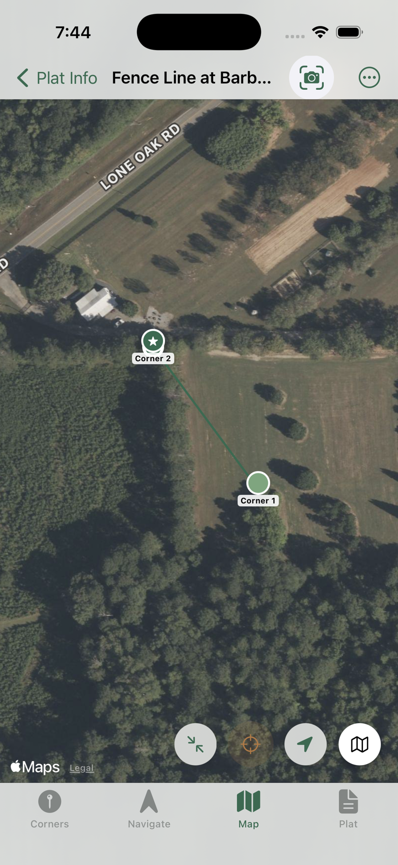
Single Line
The fastest way to make a plat: enter one bearing and one distance, and the app draws a single line between two corners. Anchor the first corner in the field and navigate straight to the far end — no full deed required.
Tap + and choose Line
From the plat list, tap +, then select the Line tab on the New Plat screen.
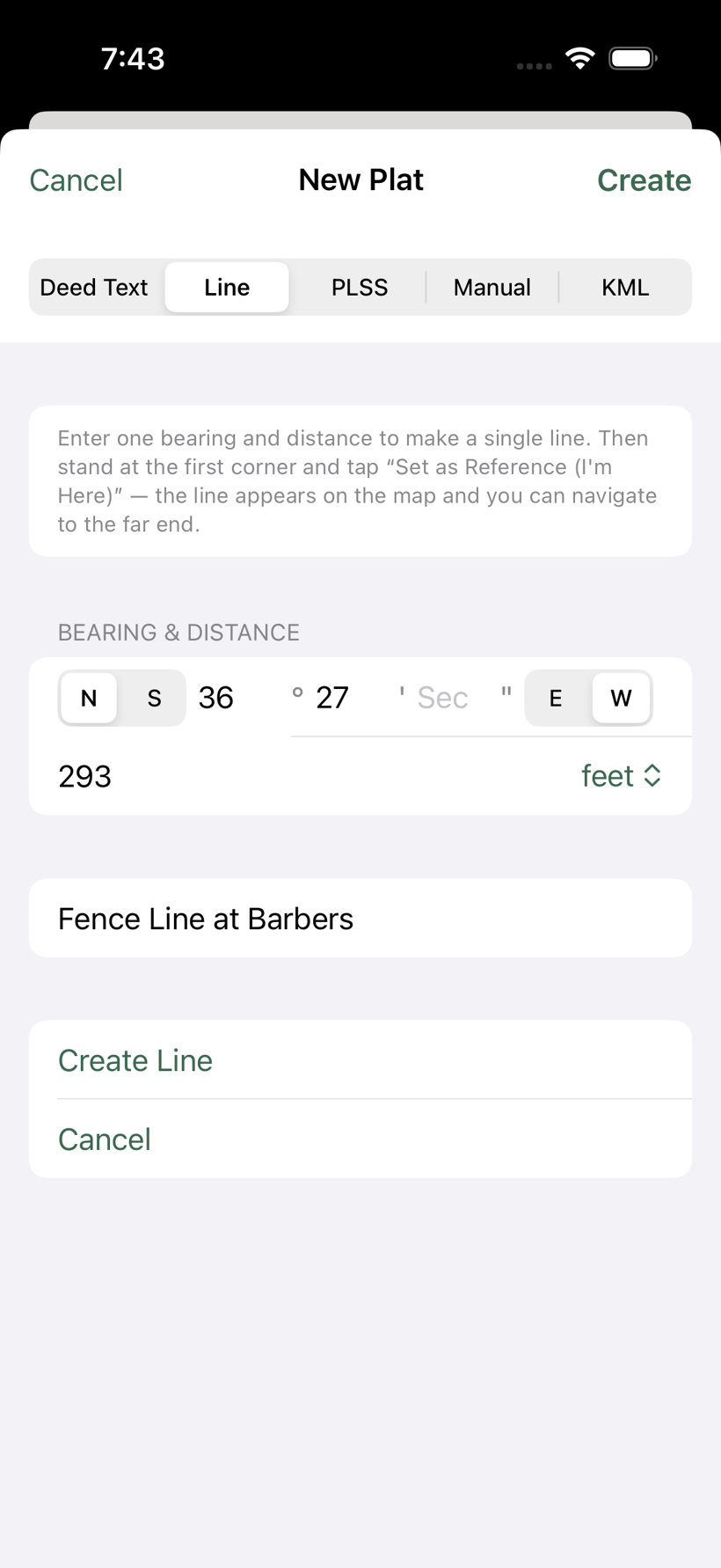
Enter one bearing and distance
Set the bearing — N or S, degrees, minutes, optional seconds, E or W — and the distance with a unit (feet, metres, chains, rods, links, varas, or yards). Naming the line is optional; if you skip it, the line is named from its bearing and distance.
Create the line
Tap Create Line. The app builds a two-corner plat: Corner 1 (your starting point) and Corner 2 at the end of the course.
Anchor, then navigate
Stand on the first corner and tap Set as Reference (I'm Here). The line snaps to its true location on the map and you can navigate to Corner 2 with live distance and bearing. As with any deed-based plat, the line doesn't appear on the map until you anchor it — see Navigate to a Corner.