Getting Started
GPS Stakeout is a field tool for landowners, hunters, farmers, and surveyors who need to find and verify property corners on the ground — without hiring a survey crew for every visit.
What the app does
Most landowners have a deed but no way to translate it into a physical location on their property. GPS Stakeout bridges that gap. You paste the legal description from your deed — the paragraph of bearings and distances that describes your boundary — or simply photograph a printed deed with your camera, and the app converts it into a map overlay you can walk. It tells you exactly how far you are from each corner and what direction to walk to reach it.
For federal and state lands described under the Public Land Survey System (PLSS), the app looks up the official corner coordinates directly from the BLM's national database, so you don't need a deed description at all — just the township, range, and section number.
Once you're navigating, a vintage-style compass points the way with live distance to each corner and a confidence ring showing how much to trust your fix. When you get close, AR Boundary Mode pins the property line to the real ground through your camera — copper survey stakes with name flags at each corner and an amber fence line you can walk right up to.
Everything runs on your iPhone or iPad. There's no subscription, no account, and no internet required in the field (except for PLSS lookup). Connecting an external Bluetooth GPS receiver — like the Dual XGPS160 — brings accuracy down to ±1–3 feet, suitable for locating iron pins and corner monuments.
Typical uses
Landowners — Walk your boundary before timber harvesting, fencing, or construction to avoid encroachment and disputes. Verify that a fence line matches the deed.
Hunters & outdoorsmen — Know exactly where your property ends and adjacent land begins. Mark corners before season so you never have to guess in the field.
Farmers & ranchers — Check field corners against recorded legal descriptions. Useful when placing irrigation lines, gates, or structures near the boundary.
Real estate & due diligence — Walk a parcel before purchase to understand its shape, topography, and where the corners actually fall relative to what's on the ground.
Survey crews & technicians — Use as a quick field check or to re-locate previously set monuments before bringing in precision equipment.
Basic workflow
Create a Plat
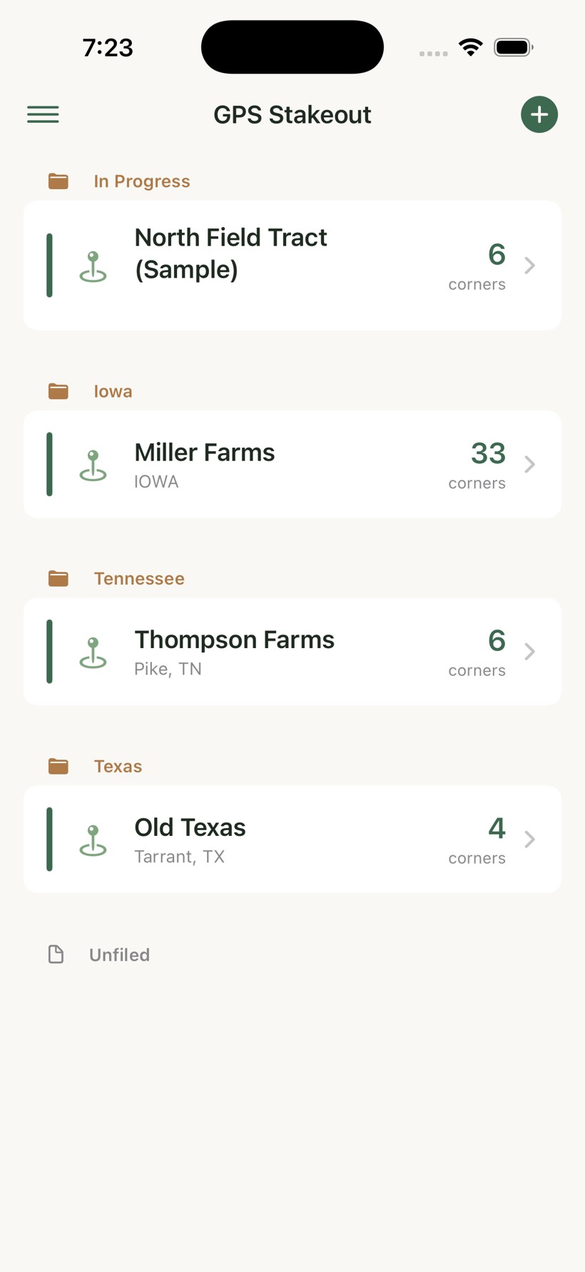
Tap the + button on the main screen to add a new plat. Choose how you want to define your boundary: paste or scan deed text, look up a PLSS section, or enter corners manually.
Set a GPS Anchor
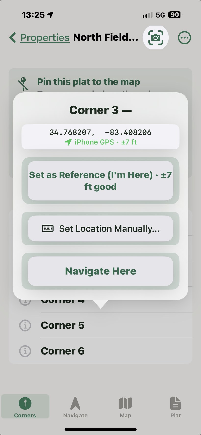
For deed text plats, the boundary is calculated as a relative traverse. Walk to your Point of Beginning, open the Corners tab, tap Corner 1, and choose Set Reference. This anchors the entire plat to a real-world location.
Navigate to a Corner
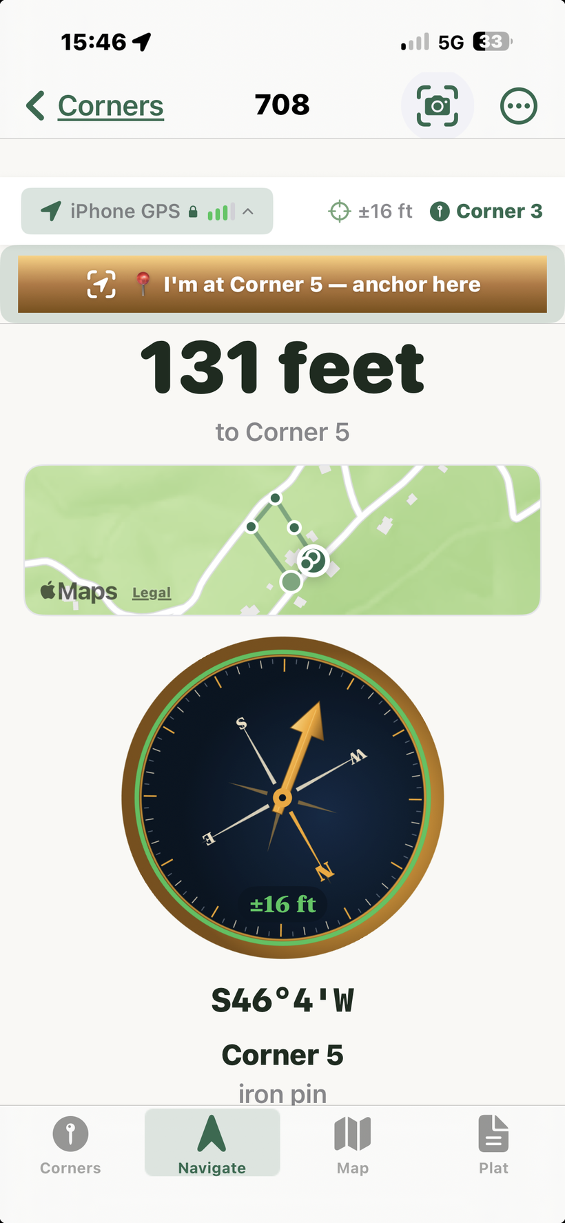
Select any corner in the Corners tab and tap Navigate. The app shows distance and bearing to the selected corner, updating live as you move.
View Boundaries on the Map
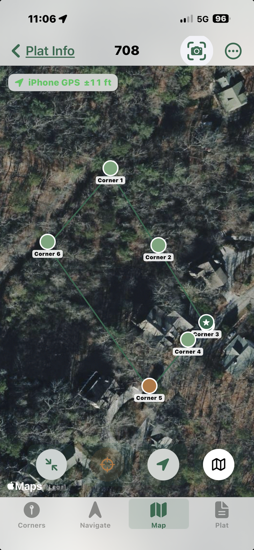
The Map tab overlays your plat boundary on a satellite or standard map. Use the fit button to zoom to your plat, and toggle satellite view for better ground reference.
What you'll need
An iPhone or iPad running iOS/iPadOS 17 or later. Most features work fully offline — PLSS lookup requires an internet connection. For best GPS accuracy on WiFi-only iPads, connect an external Bluetooth GPS receiver.
You'll also need one of the following to define your boundary:
- A metes-and-bounds deed description — the paragraph of bearings and distances in your property deed
- A PLSS location — township, range, and section number (for properties in western states and others covered by the Public Land Survey System)
- Known corner coordinates in decimal degrees latitude/longitude (from a surveyor's plat or county GIS)
The app does not replace a licensed land survey. It navigates to where the deed says the corners are, which may differ from where a licensed surveyor's monuments are physically set — especially on older parcels with rounded distances or magnetic-needle bearings. For legal boundary disputes, always engage a licensed surveyor.